UN
1 Sawpit Road
£ 327,000
Description
We don't have a Description for this property.
- Bedrooms
- 2
- Bathrooms
- 0
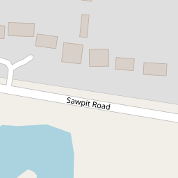


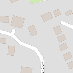
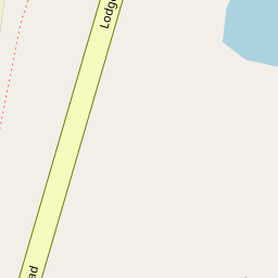

Leaflet © OpenStreetMap contributors
The heatmap indicates the level of crime in the area. The color of the heatmap indicates the crime severity and recency.
Metrics Year-on-Year
- Average area value
- 1,076,071.00 £Decreased by 49.53 %
- Average area rental value
- 2,770.00 £/moDecreased by 8.49 %
- Est rental Yield
- 3.09 %Increased by 81.76 %
- Crime Rate
- 7.00 %Unchanged by 0.00 %
from 2,132,000.00 £
from 3,027.00 £/mo
from 1.70 %
from 7.00 %
Nearby Schools
| Name | Type | Ofsted | Distance |
|---|---|---|---|
| St Nicholas Church Of England Primary, Hurst | Academy Converter | 0.44 KM | |
| The Colleton Primary School | Community School | Good | 2.02 KM |
| The Starlings Children'S Centre | Children's Centre | 2.04 KM | |
| Dolphin School | Other Independent School | 2.17 KM | |
| Winnersh Primary School | Community School | Good | 2.41 KM |
Images
Nearby Streets
| Name | Average Price | Average Sqft | Distance |
|---|---|---|---|
| Church Hill | £ 1,325,000 | 0 | 0.00 KM |
| FP Hurst No.16 | £ 2,350,000 | 0 | 0.00 KM |
| Mallard Close | £ 0 | 0 | 0.00 KM |
| Gooch Close | £ 0 | 0 | 0.00 KM |
Nearby Transport
| Name | NLC | TLC | Distance |
|---|---|---|---|
| Twyford | 3155 | TWY | 2.46 KM |
| Winnersh | 5697 | WNS | 3.19 KM |
| Winnersh Triangle | 5698 | WTI | 3.92 KM |
| Wokingham | 5696 | WKM | 5.12 KM |
| Wargrave | 3158 | WGV | 5.27 KM |
Nearby Listings
| Address | Price | Type | Score | Distance |
|---|---|---|---|---|
| Lodge Road, Hurst, Reading, Berkshire, RG10 | £ 1,400,000 | BUY | 8 / 10 | 0.12 KM |
| Little Acre, Sawpit Road, Hurst, Berkshire RG10. | £ 1,595,000 | BUY | 9 / 10 | 0.32 KM |
| Little Acre, Sawpit Road, Hurst, Berkshire RG10 | £ 1,600,000 | BUY | 9 / 10 | 0.32 KM |
| Martineau Lane, Hurst, RG10 | £ 795,000 | BUY | 8 / 10 | 0.33 KM |
| Church Hill, Hurst, Berkshire, RG10 | £ 1,325,000 | BUY | 7 / 10 | 0.33 KM |
Nearby Properties
| Address | Price | Distance |
|---|---|---|
| 9 Sawpit Road | £ 595,000 | 0.00 KM |
| 1 Sawpit Road | £ 327,000 | 0.00 KM |
| 5 Sawpit Road | £ 280,000 | 0.00 KM |
| Loddon | £ 590,000 | 0.00 KM |
| Fernwood | £ 935,000 | 0.00 KM |